Clouds are located in the first layer of the atmosphere, called the troposphere. It extends from the Earth's surface to an altitude of about 8 to 15 kilometres, depending on latitude and season. Its thickness varies from 8 km at the poles to 16 km at the equator.
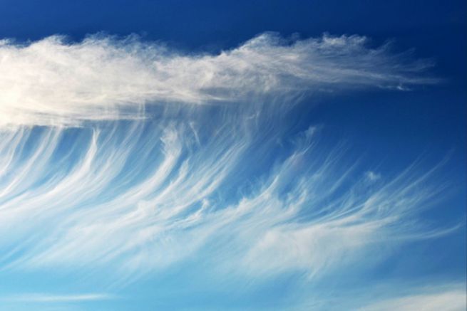
The Cirrus Highest (more than 5 km above sea level), the cirrus are frayed and thin. They are often in front of a warm front and announce a change of weather to come in the coming days.
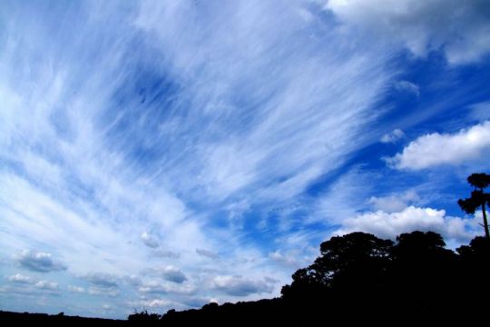
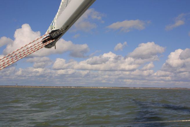
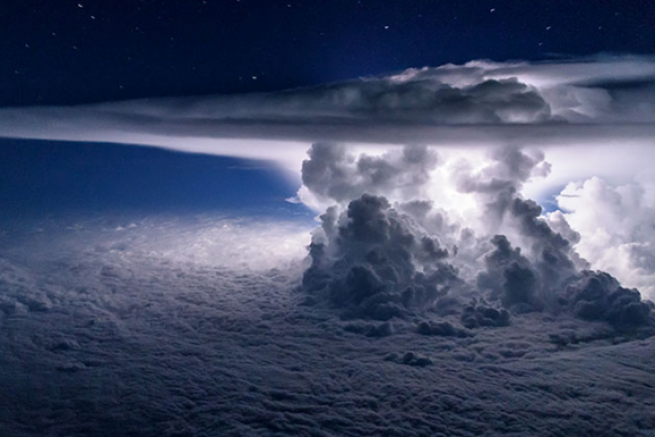
The Cumulus They are swollen and look like cotton balls. The weather depends on their size and colour. When it is high in the sky (at the base), or when it is thin enough and very bright white at lower altitudes, it is an indicator of good weather. When they are higher (but the base remains at low altitude), thicker and darker, they then belong to the variety of cumulonimbus. They predict bad weather, especially storms.

Stratus They are layered and have a regular appearance, but are often extended and stretched. The weather that it will make depends on their altitude, their color and their thickness. If they are low, thick and dark, they are signs of rain, wind and sometimes poor visibility.


