But first, what is a cloud?
Much of the weather is related to the amount of water vapour in the air. Water vapour is the only gas in the atmosphere that changes state under the influence of its environment. However, it is immediately apparent that some clouds are white or whitish while others are rather grey. In addition, some form regular strata distributed more or less high in the sky and others have a very important vertical development (cumulus). A cloud is thus a collection of water particles. This water populates the entire atmosphere, but the air masses are more or less charged with moisture depending on their origin. It comes from the evaporation of the oceans under the effect of the sun's heat. It is therefore easy to imagine that a maritime region with a lot of sunshine will be warm and very humid (equatorial air, tropical air), whereas polar air will be cold and dry. The rising air will cool down and relax. Water vapour, invisible in suspension, will saturate until it reaches the dew point. The water then condenses and forms droplets or ice crystals that create the cloud, followed by other reactions that make it rain, hail, snow or, near the ground, fog or mist.
The two big cloud shapes
There are two main families of clouds, stratiform and cumuliform, which are distinguished by their shapes and their effects on the weather and the weather to come.
| Stratiformes | Cumuliformes |
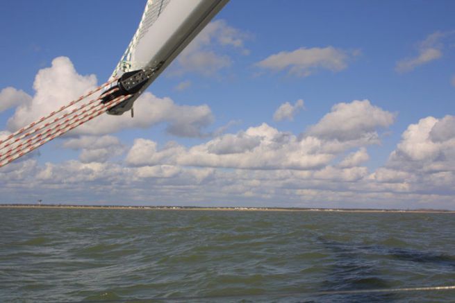
| - Horizontal development - Spread out in the sky - Thin - Fuzzy contours | - Vertical development - Very thick (up to 10 km wide and high) - Net contours - Budding (cotton balls) |
| Their effects | |
| They are a sign of stability and indicate that the weather will not change during the day. The air is little disturbed and the wind is steady. | They are a sign of instability and indicate a rapid change in weather. The air is disturbed and the wind in these clouds is gusty. The more vertically developed the cloud is, and therefore thicker, the greater the wind gusts will be. |
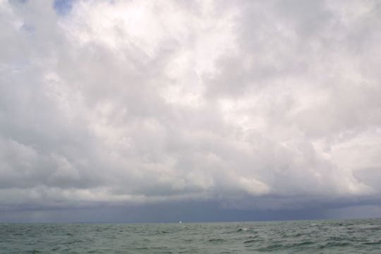
Define the altitude of the clouds to know their effects
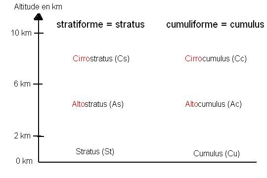
It is important to assess the altitude of the clouds, as they do not have the same effect on the weather ahead. Clouds are classified by altitude, according to 3 different levels:
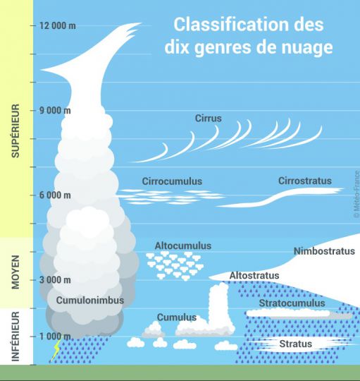
- Lower floor (from the ground to 2 km above sea level): The clouds of this stage, composed of drops of liquid water are the stratus and stratocumulus.
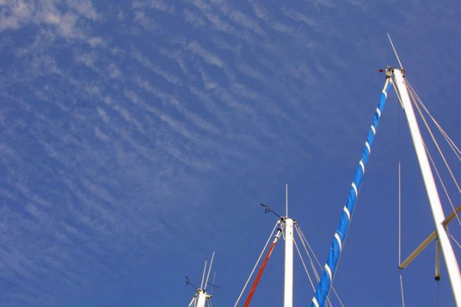
- Middle floor (from 2 to 6 km altitude): Clouds of this stage (whose name begins with the prefix alto) are generally composed of water droplets, or even ice crystals: the altocumulus and the altostratus, which can overflow into the upper stage. They cover very large areas, several km2.
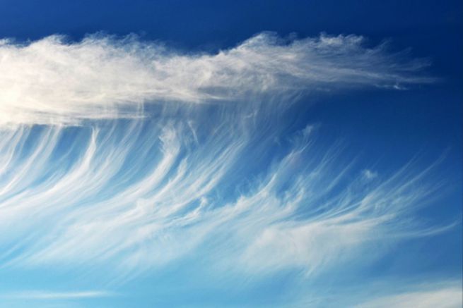
- Upper floor (more than 6 km above sea level): The highest clouds (whose name begins with the prefix cirro), composed of tiny ice crystals and whose temperature is less than 40°: cirrus, cirrocumulus, cirrostratus.
- Special case nimbostratus, cumulus and cumulonimbus, which are clouds of instability, develop vertically and occupy several levels. Their base is generally at the lower level.
Situated low in the sky, they provide information about the weather for the next hour. If they are high, they give information about the weather to come in the next few hours, or even the next day. Note that the names of the clouds on the upper level are formed with the prefix "Cirro", while those on the middle level use the prefix "alto".
Knowing the names of the clouds
There are very many clouds with often very complicated names, but one can manage to know the name of a cloud in a very simple way.
The shape of the cloud (stratiform or cumuliform) determines the ending of the cloud's name, while the cloud's altitude will give it its prefix.
- The name of a cloud stratified will always end with " stratus "
- The name of a cloud cumuliform will always end with "cumulus"
- The name of the clouds of the upper level begins with " cirro "
- The name of the clouds of the medium floor begins with " viola "
- The names of the clouds on the lower level have no prefix.
