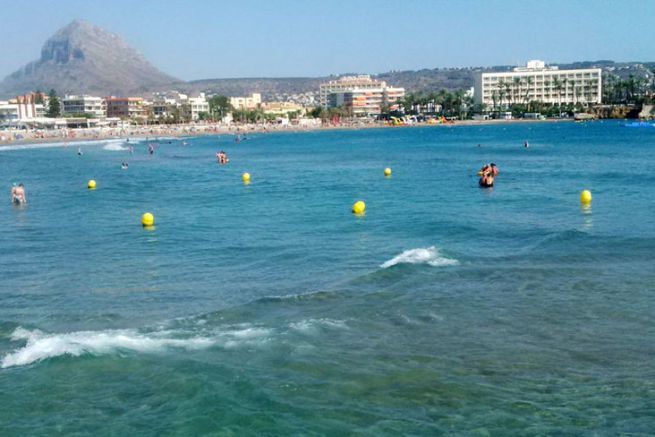
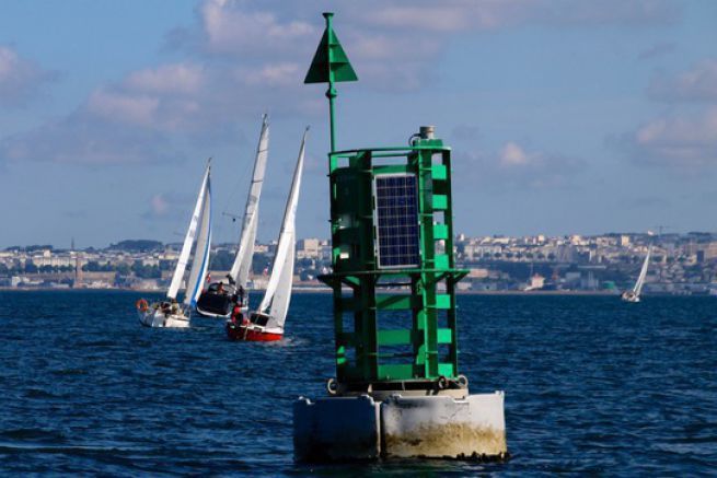
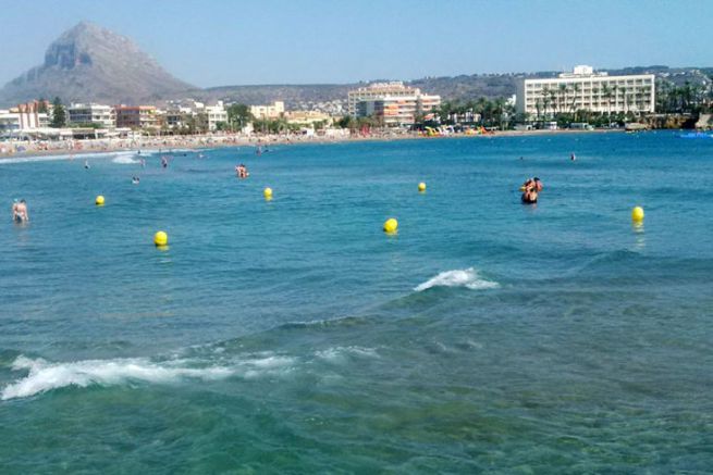
In order to ensure that speeds and the practice of boating along the coast are respected, the beaches are increasingly marked out. This marking is characterized by yellow buoys delimiting spaces. Be careful, these buoys are never lit at night.
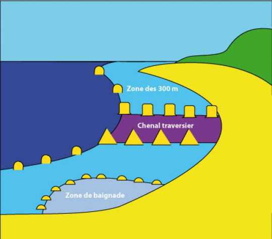
These buoys delimit:
- The limit of the 300 metre zone
- Ferry channels
- Areas closed to motorboats
- Areas reserved for swimming only
The 300 m strip
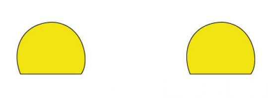
The 300 m zone is bounded by large yellow spheres spaced approximately every 200 m. In this band, which lies between 0 and 300 m from shore, the speed limit for all vessels is 5 knots. As long as this speed is respected, it is possible to navigate inside and thus to approach the shore (in the absence of a ferry channel).
The ferry channel
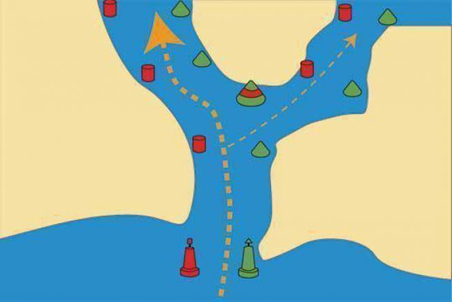
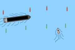
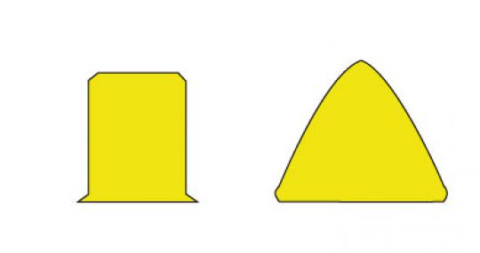
It is marked by yellow conical buoys to be left to starboard when entering and yellow cylinder buoys to be left to port when entering. This channel must be used by boats that want to return to the beach. To embark or disembark people for example. In this channel, the speed is limited to a maximum of 5 knots.
Area closed to motorboats
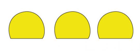
To protect a beach, it is possible to define a zone forbidden to motor boats. These are the same large yellow spherical buoys (as for the 300 m band) which are this time very close together. No motorized equipment (even jet skis) is allowed to enter.
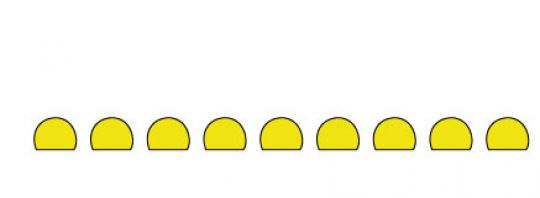
Areas reserved for swimming
They are delimited by a necklace of small yellow spheres (yellow balls connected between them). These areas are reserved for swimming and no floating gear is allowed to enter (no sailing, motor, rowing boats...).
