Reading a paper map and its useful information
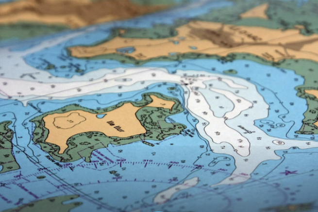
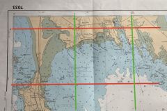
The coverage of the chart gives us general information. The title of the card and its number will be read there, allowing it to be referenced in the Shom catalogue. We also see the scale of the representation.
On older generation maps, the front side shows, in the form of a drawing, the location of the map in its region.
On modern documents, this reproduction is found on the back of the map, as well as the date of printing and the geodetic representation system.
This is one of the major points in the evolution of our paper cards, they have changed their reference system. Previously governed by the French ED 50 system, they now comply with the international standard WGS 84, which corresponds to the protocol used by GPS.
On old maps, this information can be found by folding it out and reading the cartridge.
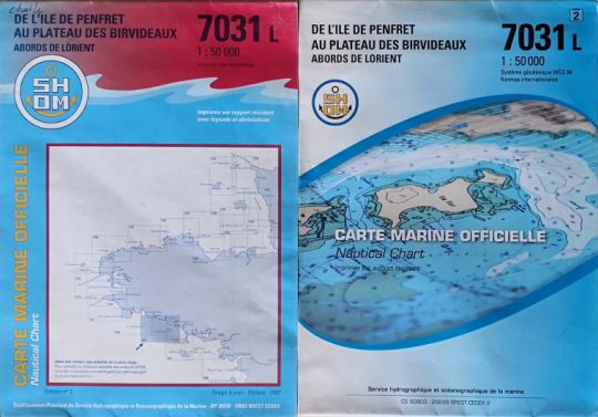
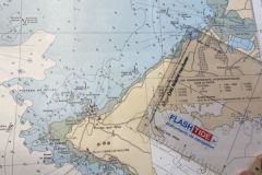
The cartridge of a nautical chart
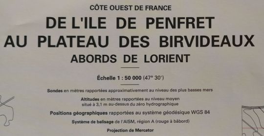
This part of the chart contains valuable information that you should read before using it.
We find there:
- the official name of the map: "From the island of Penfret to the Birvideaux plateau and around Lorient"
- its scale 1: 50,000. The scale of the map corresponds to a multiplication to arrive at the real size.
Example: a scale of 1/50 000 => 1 cm on the map is equivalent to 50 000 cm or 500 metres on the ground. - the reference level of the probes on the card . It corresponds to the level of the lowest Seas of a tide (coef 120), it is the hydrographic zero
- the reference level of altitudes on land. Reference: average level 3.1 m above hydrographic datum. The height of a hill is given from this level
- The geodetic system used to report geographical positions. On older maps using the ED 50 system, the cartridge informs us of corrections to be made to the coordinates to match the WGS 84 system.
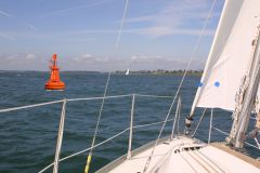
- The beaconing system. In this case, we are subject to the rules of region A, which means that for us the red colour is on the port side when we enter a port.
- The projection system used . On paper cards in general it is the Mercator projection
- The origin of the measurements and readings used to draw up this map.
