

What is a géodésique? system?
A nautical chart is an image of a part of the surface of the earth, or the sea. All position measurements on Earth are made in relation to longitude and latitude. A geodetic system defines the precise location where these lines pass over the Earth.

Until recently, each country chose its reference standard (ellipsoid). Thus, there are hundreds of different geodetic systems in the world. With the advent of GPS, an international geodetic system was developed: the WGS 84 (World Geodesic System of 1984).
In France, since 1950, Shom charts have been subject to the ED 50 (European 1950) standard. It is therefore important to check the consistency between the GPS geodetic system and the map used. Since 2001, new editions of SHOM maps have been referenced to the WGS 84 system.
There are two ways to position yourself on a map
Relative positioning, which is falling into disuse, and absolute positioning, which thanks to the widespread use of GPS, has quickly spread.
Relative positioning
Relative positioning is no longer very popular, as is the case with the compass bearing to determine its position . The sailor positions himself relative to the coast.
In this case, it is not necessary to worry about the geodetic system used on the map. However, care should be taken to correct the compass reading of the magnetic declination and magnetic deviation.

Absolute positioning
When you plot the geographical coordinates of the GPS on the map, you may have to compare 2 different geodetic systems. As we have just seen from 1950 to 2001, SHOM charts were produced using the ED 50 standard.
You will find this information in the card cartridge it is therefore essential to check the compatibility between the geodetic system of the map and the GPS used
Sometimes significant position deviations
Given the precision given to our GPS, a few metres of uncertainty, caution should be exercised with the geodetic system used.
Indeed, the differences can be several tens, even several hundred meters.
- Between WGS 84 and ED 50, the average variation observed is about 150 m.
- In Guadeloupe, the geodetic system of the SHOM maps is IGN 51, which differs from WGS 84 by about 500 m
- The difference between the geodetic system of the maps of Reunion Island (IGN 47) and WGS 84 is about 1500 m.
- In other parts of the world, these differences may be even greater.
What can be done in practice to ensure the "right" position??
The easiest way is to modify the GPS geodetic reference by accessing the parameters. This way you can record on the map the coordinates read on the GPS.
The alternative is to refer to the corrections in the map cartridge.

On this example, we read: "Satellite positioning: positions obtained by means of satellite navigation systems, compared to the World Geodetic System (WGS), must be corrected by 0.06' to the north and 0.08' to the east to be in accordance with this map."
Decrypting the cartridge
It's quite simple, the geographical coordinates provided by the GPS must be modified before being shown on the ED50 map.
- For latitudes, the correction is 0.06' to the north. So in the northern hemisphere, we add this value to the GPS coordinates
- For longitudes, the correction is 0.08' to the east. So west of the Greenwich meridian we subtract the correction from the GPS coordinates.
The difference obtained is about 150 m.

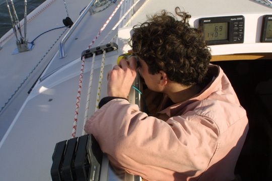
Maybe that's what this boat was missing.
Caution and pilot's foot
If, from now on, the Shom maps are published in WGS 84, many of us have old editions in ED 50 format on board our boats.
It is therefore advisable to take a step back on the map's geodetic system and the coordinates read on the GPS screen before recording them on the map.
In addition, caution is valid in the other direction. We read very precise coordinates that can be plotted on maps whose readings are sometimes old and therefore imprecise.


