How do you define tramontane??
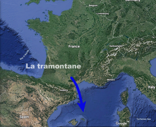
Tramontane is a regional wind. It blows on Occitania and more particularly on Languedoc-Roussillon.
This north to north-westerly wind accelerates in a corridor created by the Pyrenees to the south and the Massif Central to the north. The bottleneck formed by these mountain ranges creates a venturi effect that will increase the wind strength tenfold.
Tramontane through history
Tramontane's roots come from the Latin transmontanus (Gaffiot dictionary) meaning "beyond the mountains", in reference to its mountainous and polar origin. As early as the end of the 13th century, the use of this word can be found in a story by Marco Polo.
Later, in the western Mediterranean, the name Tramontana was given to the North Star, because, like the star, it indicates north. In contrast, the expression "to lose the tramontana" was born, meaning to lose the north or to be disoriented, lost or even to have lost one's mind. Victor Hugo, in his collection of poems "Les rayons et les ombres" (1837), will say about the tramontane: "The wind that comes through the mountain will drive me crazy".
In a more contemporary way in Georges Brassens's song "Je suis un voyou", the singer also uses this expression to signify his disarray: "I lost the tramontane when I found Margot. ».
Finally, sea songs also celebrate this Mediterranean wind with the famous eponymous song that you will certainly hear resounding late in the harbour bar (link at the bottom of the article).
Cold, turbulent and powerful
Tramontane is very often associated with the Mistral, in the manner of a twin sister, with whom it shares many similarities. Here are its main characteristics:
- Location: South of France
- Sector : north with a western component
- Character: violent, gusty and cold
- Period: tenfold in winter and spring, but possible in any season
- Frequency: on average 115 days per year, as in Perpignan
- Duration: several consecutive days, and up to 17 days as in 1993
- Power: violent gusts that can exceed 75 knots towards Cape Béar
- Record : 110 knots recorded at Sète, Port-Vendres and Perpignan.
- Effect: Seems to "clear the sky" by bringing cooler, drier air to the coast
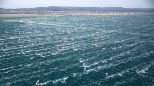
The windsurfing competition takes advantage of the tramontane ©Souville/windmag
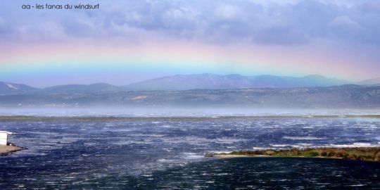
Tramontane in the early morning in Gruissant, gusts exceed 60 knots
Both the tramontane and the mistral are a foehn effect, i.e. a meteorological phenomenon created by the meeting of a prevailing wind and a mountain range. When an air mass is forced upwards by its movement over a mountainous relief, a very characteristic orographic or relief wave is created.
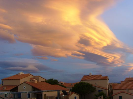
Lenticular clouds generated by orographic waves associated with an episode of tramontane over Port Leucate ©Gerbil
A wind capable of changing the climate
Despite its violence, tramontane is essential to the balance of coastal marine ecosystems. Indeed, by pushing the waters of the lagoons towards the sea, it allows them to renew themselves and oxygenate the environment.
With the tramontane coming down from the mountains, the air temperature will drop sharply, sometimes giving the horrible feeling of being in the polar region.
In addition, the water temperature will also quickly collapse. Warm surface water is pushed offshore by the wind, which then causes deeper, and therefore colder, layers of water to rise. In summer, the sea temperature will easily drop to 18 degrees after a few days of wind, and in winter the water at 12 degrees will freeze your fingers off.
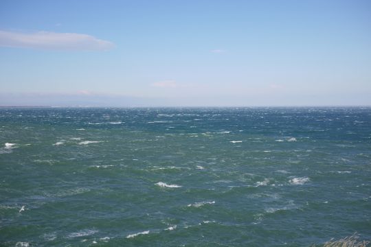
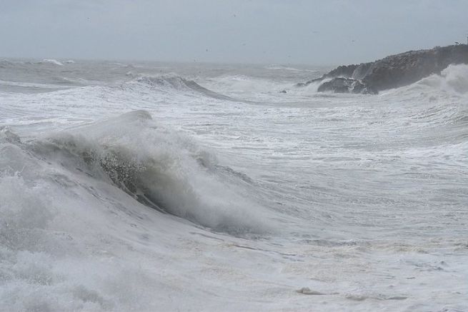
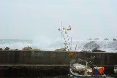
A muttering sea under the effect of the Tramontane in the Pyrénées-Orientales. J.P. Bazard
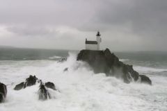
On the coastal regions of the south of France, if the onshore wind leaves the sea white, significant waves will not be observed. But the powerful tramontane can easily generate 5 m waves offshore.
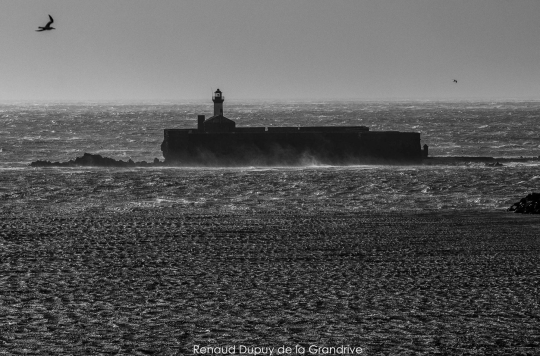
The short "period" of these waves will be a major challenge for the boats and their crews. The high dykes protecting the ports of the northern Balearic Islands bear witness to the violence of the onslaught of the Tramontana waves.
How do you plan the tramontane??
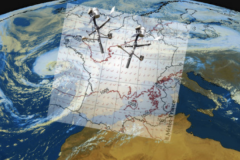
The meteorological context favourable to the establishment of tramontane is a high-pressure area on the near Atlantic extending towards Spain and south-west France.
This zone of high pressure will generate a north to northwest flow that discharges its cold air.
A depression on the Gulf of Genoa or on the Tyrrhenian Sea will tighten the isobars.
The mountain ranges of the Massif Central and the Pyrenees will finish strengthening this wind due to the venturi effect.
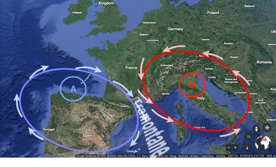
The strength of the tramontane generally depends on the pressure difference: if the pressure difference between Toulouse and Cap Béar exceeds 4 hPa, it is highly likely that the Languedoc will experience strong gusts.
Another context is also favourable for the creation of tramontane. Indeed, when a depression crosses the Western Mediterranean and evacuates eastward, there is a high probability of tramontane appearing over the Balearic Islands and the Gulf of Lion (frequent in autumn and spring).


