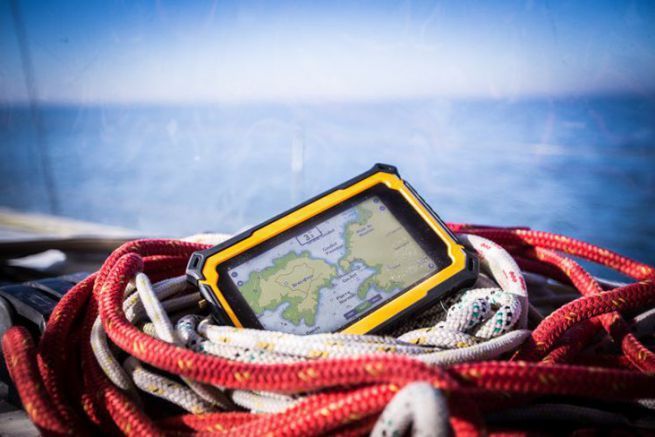
The use of tablets in navigation has become more widespread in recent years. More generally, more and more boaters are reluctant to replace their old chartplotter with a newer model. Fixed, relatively expensive and less versatile, the chartplotter has seen more and more computers step on its toes first, then tablets and smartphones.
Many of us have bought a tablet when the product first appeared, it was a trend. Since then, sales have slowed down in the face of increasingly powerful smartphones with bigger and bigger screens, or ultra-portable devices that are more practical for everyday use. Nevertheless, certain niches have developed in which the tablet offers undeniable advantages. Navigation is certainly one of them.
However, there is no one typical use of the tablet in navigation: if a minority of navigators see it today as the main charting tool, backed up by paper charts for example, many have made it a back-up in case their basic equipment, plotter or PC for example, should fail them. Others still use it in the cockpit when the PC on which the navigation was prepared remains at the chart table.
The limits of the tablet
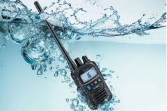
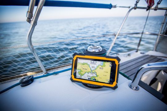
If the tablet has not become the main navigation tool, it is mainly because it has a few flaws that make it less practical in certain circumstances. The first one that comes to mind is obviously the waterproofing. It's hard to imagine that you wouldn't take a certain risk using your tablet in the cockpit without providing protection against water. It is even necessary to specify: against salt water, whose damage is much more serious, so much so that most smartphone manufacturers, such as Sony with its Xperia range, now specify that their devices, although advertised as "waterproof", cannot be exposed to sea water.
The second limitation is the screen: in general, it is not designed to be readable in full sunlight. While most tablets have a brightness of 350 to 450 candelas/m2, plotters, in comparison, reach 1000 to 1500 cd/m2. So there is a risk of finding ourselves in situations where the map will not be readable, with the consequences that this can have in difficult situations. In addition, many screens are ultra-bright to enhance color rendering, which greatly accentuates reflections, especially in bright light.
Finally, the battery rarely offers enough autonomy for a day of browsing. Obviously, the consumption is very dependent on the use of the tablet. Keeping the screen on at maximum brightness during the whole navigation, activating WiFi and Bluetooth and listening to music at the same time will generate a much higher consumption. On the other hand, putting the screen to sleep after taking stock of the situation will save a lot of battery life.
What criteria should I use to choose my tablet?
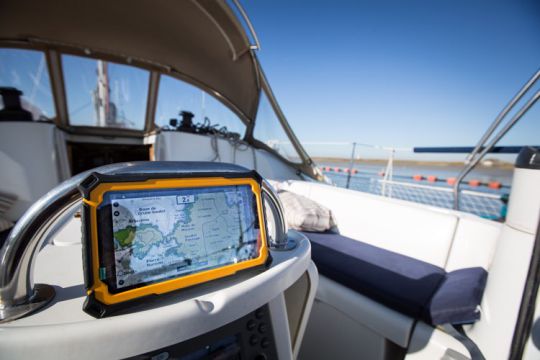
Again, it all depends on how you use it. If you want a device that is as autonomous as possible, it is necessary to be able to rely on it in all circumstances. It will then be necessary to choose a waterproof tablet or to equip it with a quality waterproof case.
Ideally, the brightness should exceed 750 cd/m2. If it is not the main navigation equipment, you can be satisfied with 500 to 600 cd/m2 like the latest iPad Pro or some Samsung tablets. In terms of size, there are many schools: some swear by tablets of at least 10 inches, others prefer 8 inches, because "it fits in the pocket". Of course, we won't have the same perspective depending on whether we're sailing a 24 or a 40-footerâ?¦ Anyway, we have to remember that the majority of plotters that equip our boats measure between 5 and 9 inches.
As for the battery, it's quite simple: the bigger it is, the longer you can rely on it. The autonomy will also depend on the way you use the tablet, but also on the system: a recent Android, 9 or 10, manages consumption much better than an older version. Today, mid-range tablets have a battery of +/- 5000 mAh. We can see higher-end models reaching 7500 to 10000 mAh, which will allow long day browsing without fear of seeing the tablet shut down when landing.
Finally, a 4th important point will be the presence and quality of the GPS chip. This one is often absent from low-end Android tablets, but also from the "WiFi" iPad (without cellular connection), because their GPS and cellular modules are implemented on the same chip. If the GPS function is present, we can nevertheless find chips with very different precision. Some, especially if they use the Galileo network in addition to the usual GPS and GLONASS, can reach outdoor accuracy of 1 meter while others will settle for 3 to 5 meters. Inside the boat, the accuracy may decrease significantly until the tablet becomes unusable with an anchor alarm application, for example.
To get to the bottom of thingsâeuros¦
Beyond that, various criteria can still make a difference. We advise you to pay attention to the following points:
- a fairly recent system. In the case of new products, this is a problem that is more common with Android, where you can still find tablets running Android 6 or 7 on the shelves, even though the current version is 10, with 11 already on the horizon. And it is increasingly rare that manufacturers offer software support beyond 2 years. The risk is obviously that you won't be able to use your favorite applications after 3 or 4 years.
- Sufficient memory. Today, the standard is around 4 GB of RAM. As for the ROM memory, it will depend on the applications used, but a minimum of 64 GB seems essential to us. The ability to insert a memory card is an advantage reserved for Android tablets. It should be noted, however, that some mapping applications do not accept that maps, which are often memory-intensive, be transferred to this memory card.
- The presence of various sensors: gyrometer (wrongly called gyroscope), magnetometer (compass), possibly atmospheric pressure sensor.
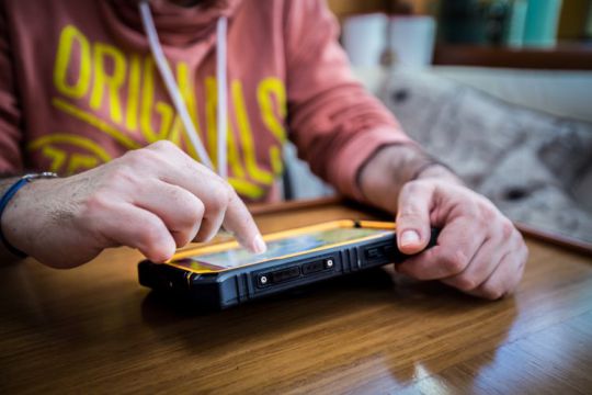
- A screen that allows the use of gloves or under water projection.
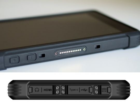
- Connection options: while Lightning (for iPads), micro-USB or USB C (ideally OTG-compatible for "On-The-Go", a port that allows you to connect USB peripherals (USB stick, mouse, keyboard, hard drive, etc.) via an adapter) is common, as is WiFi, some tablets may offer alternatives: USB type A (the USB port on your PC), mini-HDMI or POGO-pin, for example.
- A cellular connection (SIM card), if you want to connect to the Internet network in the absence of WiFi (interesting for example to download GRIB files when you are at anchor). And if you are sailing in exotic countries, make sure that the frequency bands are compatible.
- The temperature range of use: some tablets suffer more particularly from heat. This is particularly true of iPads, whose usage range is from 0 to 35°C: prolonged exposure to the sun will cause the tablet to go into a safe state until it reaches a more suitable temperature.
In conclusion while there are many criteria that can be considered, they will depend on the role you want your tablet to play. The requirements will not be the same depending on whether you see it as the main mapping tool or as a backup in case of failure. However, whatever your choice, never forget to prioritize security by ensuring redundancy of location and navigation devices. And be sure to provide for an independent power supply for these different devices, if they are electronic.
