An invitation to travel
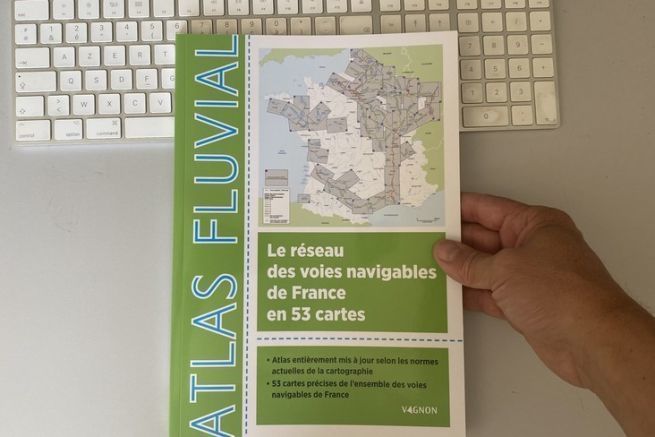
Immerse yourself in the contemplation of a map, and already the journey begins. This is what happened to us while leafing through the Atlas Fluvial published by Vagnon. By listing the waterways of France in 53 maps, this atlas invites you to navigate.
To prepare your navigation
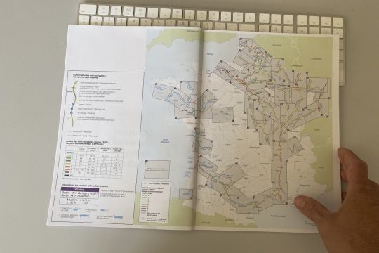
Beware, this Atlas is not a navigation tool, but rather a prospecting tool. Whether you own your own boat, or even rent a boat, this atlas is a must. Indeed, it gathers on its maps all the indications to prepare its navigation.
Its use is extremely simple. The first map, the one of France, shows all the waterways with for each one the page in which it is detailed. A nice color panel allows to define the size of the authorized boat. This already gives you an idea of the kind of boats you will meet while sailing.
General information
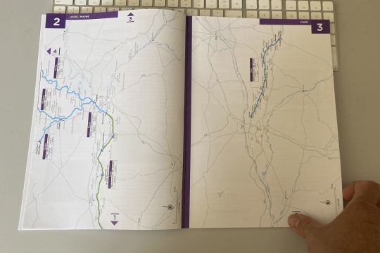
Once on the "detail" map, you will have indications on the length of the river or canal and on the number of locks encountered. The information on the draught (in river navigation we talk about anchorage) and the air draught are also reported. Stops and ports are also included. So much information that will allow you to plan a navigation.
For tourism too
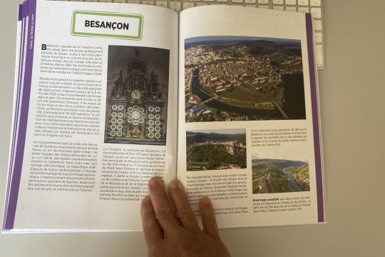
The tourism part is also honored in this guide. By focusing on some major milestones, whether cities or characteristic structures such as an inclined plane or a museum. It is quite brief, but gives an idea of the destination. Some information on possible moorings is also given.
A book not to be missed
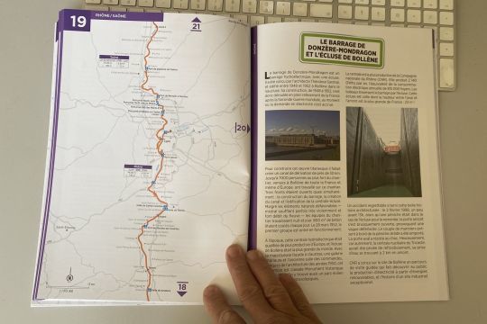
If the cartography part will be very useful for the sailors, the tourism part seems to us a bit light. But there are so many complementary solutions in the organization of a cruise, that the set of maps in this atlas alone justifies the purchase of this book.
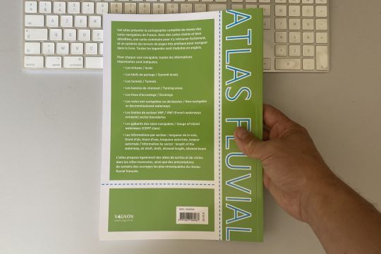
Fluvial Atlas of French waterways in 53 maps
- Vagnon Editions
- 21.2 x 29.7 cm
- 96 pages
- 24,95 euros
