How to define wind marin??
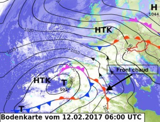
The sailor is a southeast wind blowing over the Gulf of Lion and Provence. Originating above the Mediterranean Sea, it is mild, but very humid. This wind is always associated with a localized depression over the Iberian Peninsula and in particular with its warm front.
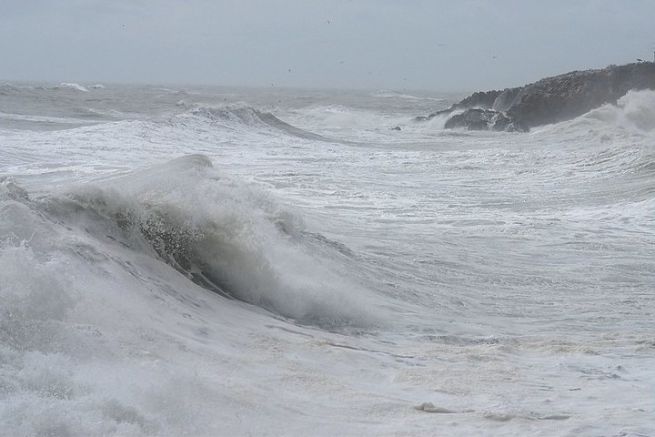
Mariners should be wary of the heavy seas it can lift. Indeed, the sea can be dangerous, because the sailor generates a large swell of a short period of time (time between two ridges), producing breaking waves.
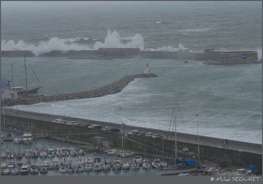
Sailor storm at the port of Sète
Powerful, rainy, and soft.
Blowing from the sea to the land, the sailor is in a way the opposite of the tramontane. This regional wind is very characteristic, here is the identity sheet:
- Location The Gulf of Lion and Provence
- Sector wind from the south with a more or less marked easterly component
- Character Unlike offshore winds, it is rather stable and regular. It is also soft and highly humid.
- Period of time It is more frequent in spring and autumn, when lows manage to penetrate the Mediterranean
- Power consumption It is generally moderate, but sometimes violent if the depression that accompanies it is deep
- Speed record : The maximum values recorded can be very high as 98 kt at Leucate in December 1997.
- Swell record Far from the maximum heights recorded in the Atlantic, the helicopter sensors still recorded a wave of 13.78 m in December 2003. More than the rise of the waves, it is the breaking character that we must fear.
- Effects It brings a grey and humid weather with low clouds that are sometimes accompanied by mists or mists. When it blows hard along the coast, it causes strong waves with the risk of coastal flooding.
How to predict the wind marin??
The sailor's origins lie in a depressed situation in the extreme west of the Mediterranean basin: the Iberian Peninsula or the Balearics.
In the event of the presence of an anticyclonic centre over the towards the Alps or Central Europe, this low pressure system will activate the sailor.
The coastal relief of the var (to the east) and the Pyrénées-Orientales (to the west) will channel and reinforce this wind over the Languedoc-Roussillon.
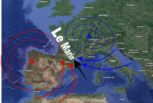
The warm front of the low will bring more or less precipitation depending on its size. On the map below, when the hot sector (shown in red) progresses eastward, it will generously water the whole of Occitania with its torrential rains.
