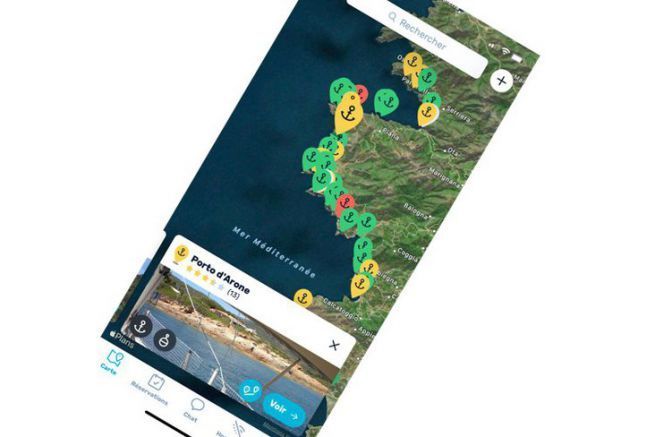
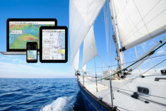
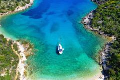
Navily's navigation guide is getting better. This tool, available as an application on mobile phones (smartphone and tablet), lists and shares anchorages and ports. The community of navigators participates in the census of the different places. Each time with notices and photos to describe the site.
Today the anchorages, which are very numerous throughout the Mediterranean and increasingly present in the Atlantic and the West Indies, are increasingly commented on (30,000 reviews and 20,000 photos). This growth doubles every year with more than 200,000 users.
Route calculation
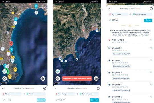
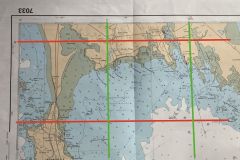
For 2020, Navily has set up a partnership with a company offering nautical cartography. From now on you can access it and above all the application offers the calculation of distance between 2 points. This calculation takes into account the draught of the boat (and the air draught!) and thus avoids shallow waters or bridges. This is a free feature in the application but it is not used in navigation since the position of your boat is not displayed on the map. This feature is designed to plan routes without leaving the application.
A chat with the neighbors
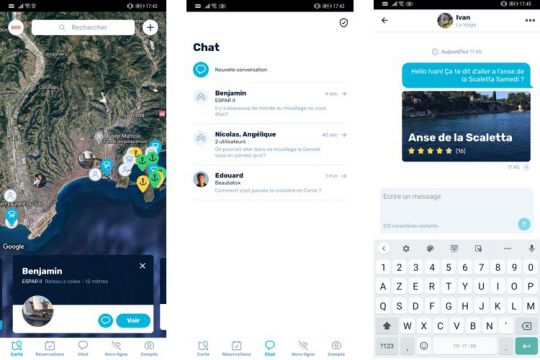
If desired, you can appear on the map as a Navily user. This allows you to see other users appear and get in touch with them. This is much simpler and more visual than the flag some people display in the arrow bar, but it's the same principle. This will allow you to ask questions about the anchorage, if it is not too crowded, if the swimming is pleasant, if the beach restaurant is good ..
Note from contributors
From now on, contributors are noted. The more you contribute, the more points are awarded. Becoming a "Top Contributor" (more than 3000 points knowing that you earn between 25 and 100 pt depending on the information you provide) gives access to new features. You become a trusted person who can then modify the name or security information concerning an anchorage. It also gives weight to comments to help the boater know who they are reading.
Real-time alerts
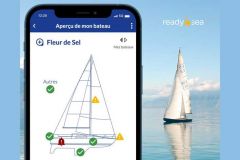
Navily just set up an alert system. At an anchorage, you will be able to find out if the anchorage is infested with jellyfish or if there are a lot of wasps prowling around. This information is indicated by a contributor and will remain displayed on the map for 3 hours. A validation (thumb up) from another contributor will extend the report. There are 5 types of information: wildlife, bad weather, police control, pollution or piracy.
SOS to the community
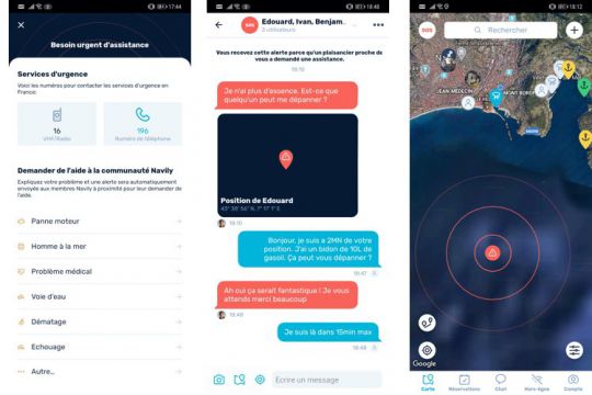
By mixing the various new functions (position, chat, alert), Navily has developed an alert system to signal a problem on board. Indeed, in many cases, there is no need to call the SNSM to get out of a problem. To request a tow for example, or to find a tool that will allow you to repair, for example, by launching this SOS, all Navily users within a radius of 10 M will be aware of the problem and will be able to intervene if they wish.
